Latest find
Latest finds from the community
The first published finds will appear here soon.
Open findings feedField journal and offline map service
The free Android app records routes and finds without a network. The web service converts and georeferences maps, stores encrypted backups and delivers ready PMTiles to your device.
For WindowsTHS2 Map BuilderAn open-source local map converter that keeps source files on your computer.Download on GitHub ↗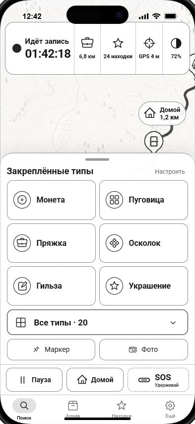
Latest find
The first published finds will appear here soon.
Open findings feedAvailable now
Convert and validate maps in the browser, download them to Android and keep a field journal offline. An account and cloud storage are only needed for the features you choose.
Upload PMTiles, inspect boundaries and metadata, manage your quota and add more storage only when needed.
Turn rasters, KMZ and XYZ/TMS archives into PMTiles or align scans to OSM with control points.
Choose an area and zoom level; the server safely prepares a vector PMTiles map for offline use.
Search by a point on OSM, compare actual coverage and samples, then add free maps to your library.
Resume map downloads, open PMTiles and KML, and create encrypted backups locally or in your account.
Keep GPS tracks and finds offline, then share selected stories in a moderated feed with likes and awards.
One ecosystem
The website and app handle different parts of one workflow. Heavy processing runs on the server, while the maps and field data you need remain available offline on your phone.
Catalogue maps are stored once on the server. Your personal quota is used only by files you upload or create yourself.