
What is new
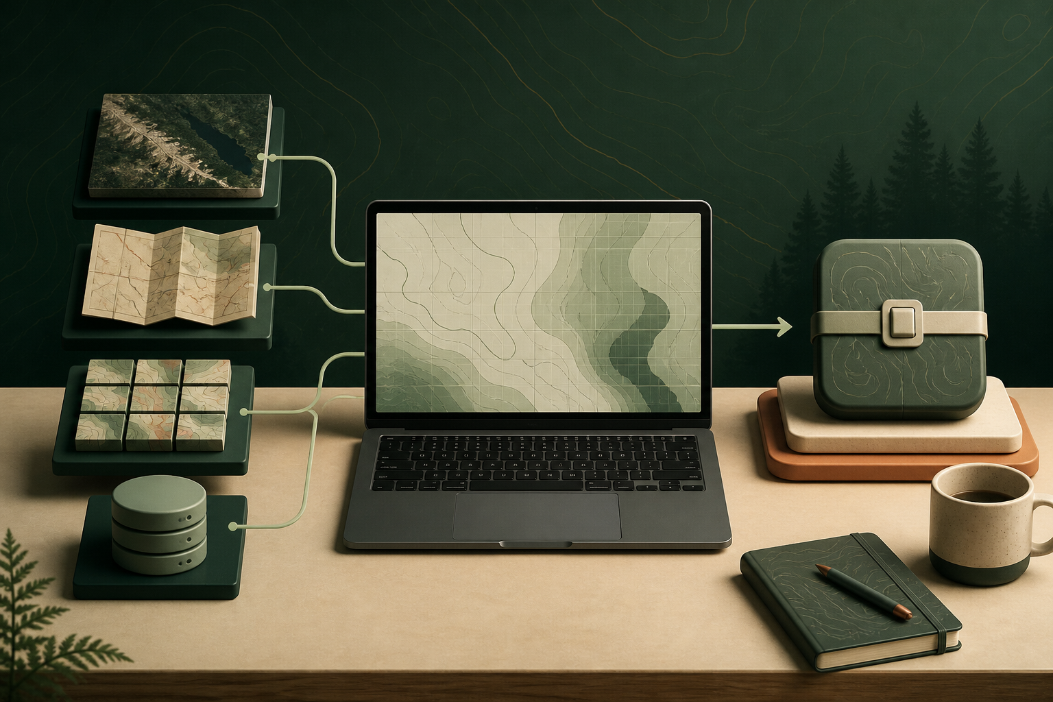
Direct builds from SAS.Planet CacheType=71 SQLite caches and conversion of existing MBTiles files remain available. Version 0.2.0 adds georeferenced GeoTIFF and KMZ sources, plus tile folders arranged as z/x/y.
For XYZ folders, the tool detects bounds and available zoom levels automatically. Georeferenced rasters can be rendered as PNG or JPEG with adjustable JPEG quality. Plain JPG and PNG images without georeferencing are not supported yet.
One THS2-ready result
Regardless of the source, Map Builder produces a raster PMTiles v3 file and validates it with the official pmtiles verify command. GeoTIFF and KMZ sources are reprojected to Web Mercator through GDAL when needed.
The resulting PMTiles can be kept as a single file, uploaded to a private THS2 library or transferred to an Android device for offline use.
- SAS.Planet CacheType=71
- MBTiles
- georeferenced GeoTIFF and KMZ
- XYZ z/x/y folders
Local processing on Windows
Maps and coordinates are not sent to THS2.ru: conversion runs on the user's computer. The Windows package already contains Python and the official PMTiles CLI, so installation consists of unpacking the complete ZIP and launching THS2 Map Builder.exe.
GDAL is required only for GeoTIFF/KMZ and is detected in installed OSGeo4W or QGIS locations. SAS.Planet, MBTiles and XYZ workflows do not require GDAL.