
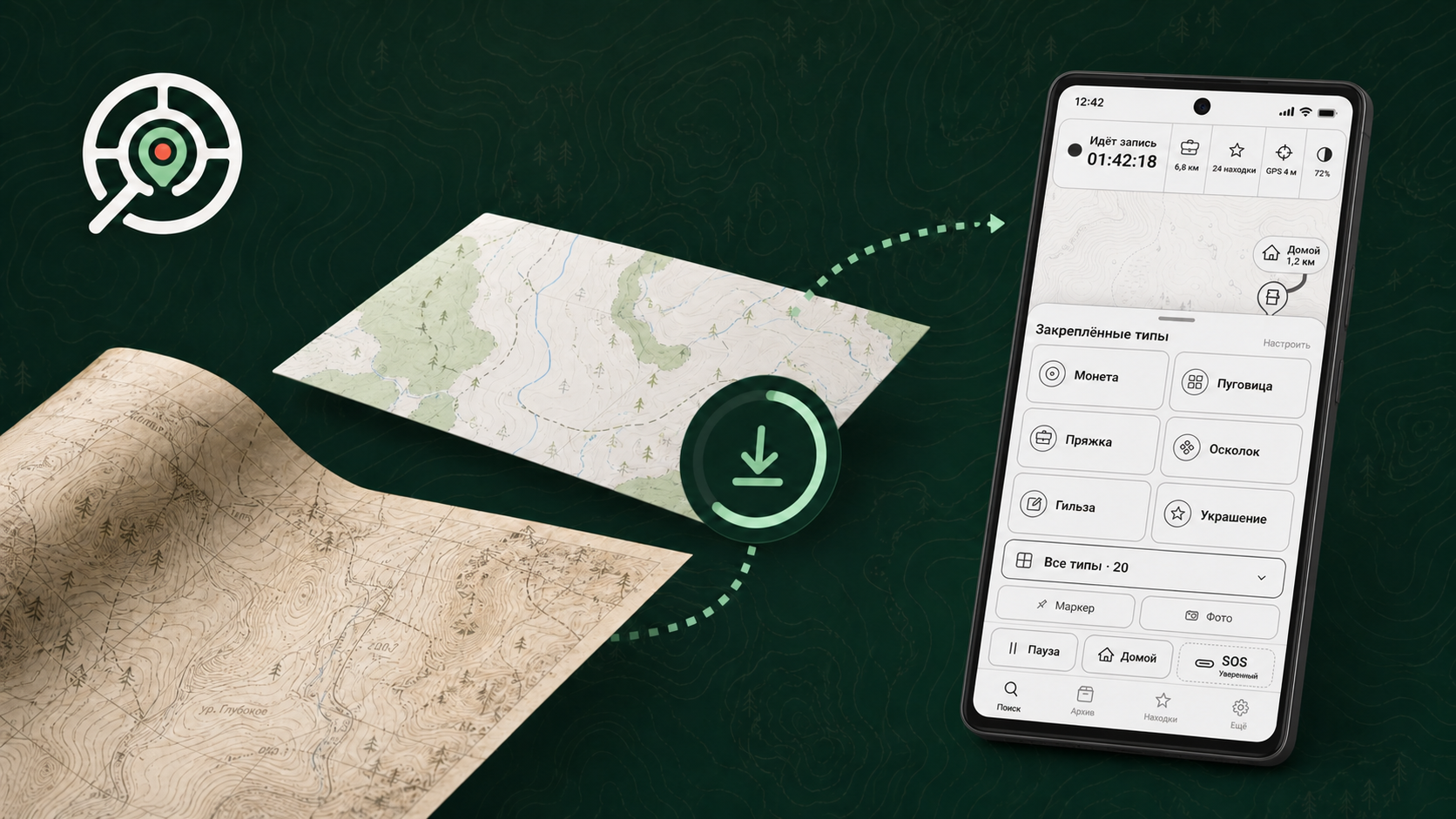
The website and app now work as one system
THS2 now connects the website and the mobile app. On the website, you can create an account with email verification, build a private library, upload and validate PMTiles files, monitor your storage quota and view a map over OSM.
The historical map catalogue now supports point-based geographic search. You can inspect coverage and preview samples, then add free maps directly to your library.
- create an offline OSM region;
- georeference a raster map with control points;
- check the result over a modern map;
- produce a PMTiles file for offline use.
A private library on Android
The Android app works with local PMTiles, signs in to a THS2 account, opens the private library and downloads selected maps. Download progress is visible, and an interrupted transfer can resume. Importing data from THS 1, including user maps, is also available.
The website and app are available in Russian and English. The project also has a unified new logo and a completely updated home page.
Important: 0.2.0-alpha03 is an early test build, not a final release. It is intended for feature testing and feedback. The store and paid plans are still being prepared. Before an important field trip, keep a separate backup of your data.
The build requires Android 12 or newer. Try migrating data from the first version, uploading your own maps, downloading a map from the library and testing it in the field. Tell us what worked well and where you encountered questions or errors — this feedback is especially valuable at this stage.